← Back to all work
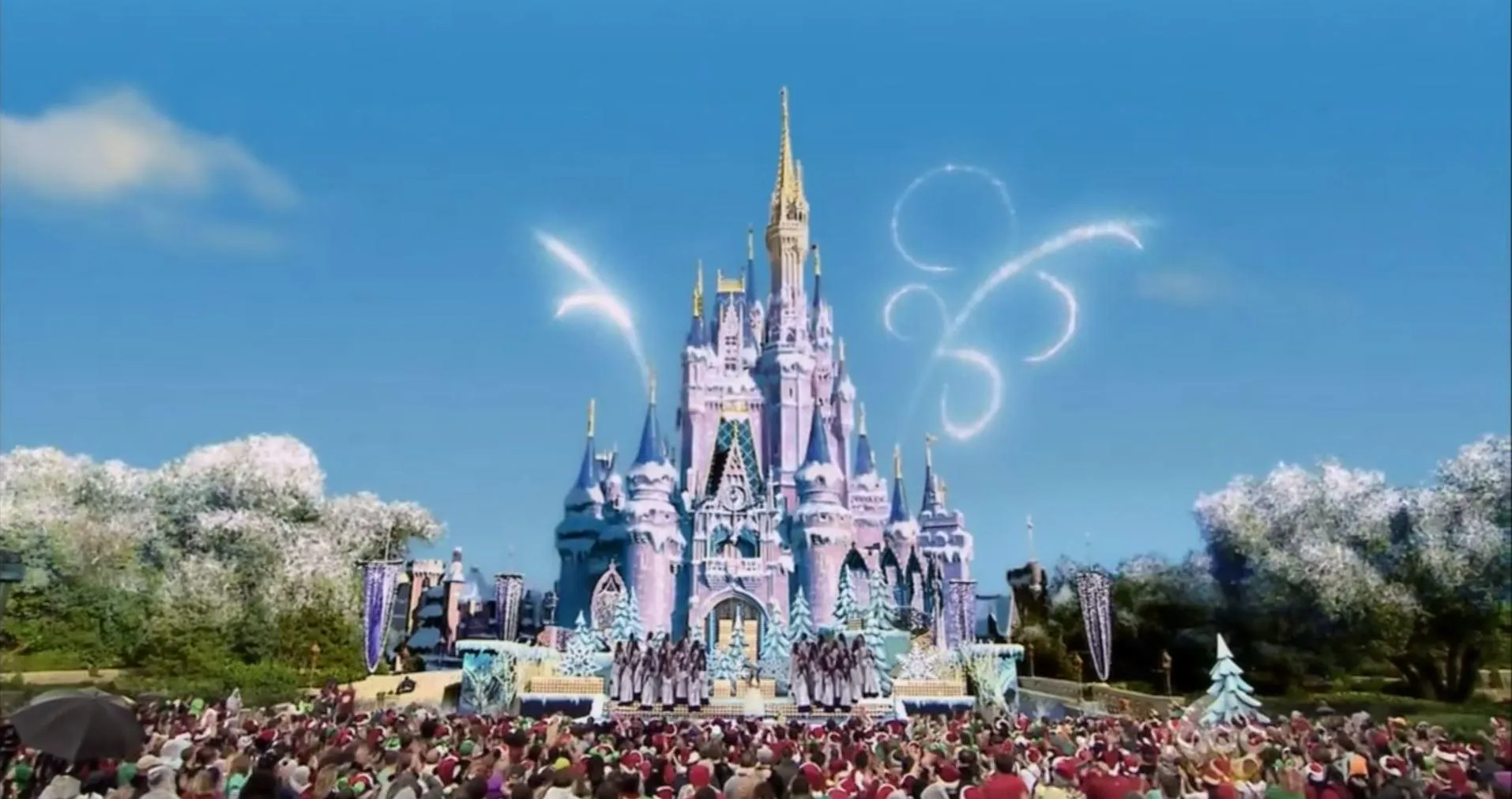
Promotional image for Disney’s Frozen Christmas Day special (2014)

SELECTED WORK / PRODUCTION

Disney ‘Frozen’ Christmas Day Special

Studio
ABC
Released
December 24, 2014
SCANable role
3D Laser Scanning/LiDAR
Director
George Bloom
VFX vendor
CBS Digital
  • Architecture
  • Camera Tracking
  • Environments
  • VFX

Disney’s Frozen Christmas Day special is the 2014 broadcast that gave the 31st Annual Disney Parks Christmas Celebration a Frozen-themed finale. Building on the mega-successful Frozen franchise, the show ends with Elsa casting a freezing spell on Main Street USA — ice races down the street, culminating in the spectacular frosting-over of Cinderella’s Castle.

In October 2014, SCANable performed a 3D laser scan of Walt Disney World’s Main Street and Cinderella’s Castle. Those LiDAR scans were developed into a meshed 3D model used by CBS Digital to create the ice and snow visual effects seen at the end of the special — 3D scanning and modeling that helped make the show-stopping effect possible.


A landmark the audience already knows by heart

Most environment capture is invisible work. This is not. Main Street U.S.A. and Cinderella Castle are among the most photographed structures on earth, and a large share of the audience carries an accurate mental picture of both.

That changes the tolerance. An effect laid over an unfamiliar building can take liberties with proportion and nobody objects. An effect laid over a building people have walked past cannot. The pitch of the roofs, the taper of the spires, the width of the street — all of it is already known, and any drift reads as wrong even to a viewer who could not say why.

Terrestrial LiDAR settles the question by measurement rather than interpretation. Our set and location scanning exists for exactly this class of subject.

Geometry a camera never gets a clean look at

An effect that travels across a building has to respect the parts of that building a lens only ever sees obliquely — upper cornices, roof pitches, the backs of finials, the ledges above eye level.

Photography alone gives a modeler foreshortened, partial views of those surfaces. A point cloud gives measured position for all of them at once, from scan stations chosen for coverage rather than for composition.

That is the difference between an effect that sits on a building and an effect that appears to belong to it.

The record outlasts the broadcast

A survey-grade capture of a permanent landmark has a working life far longer than the show it was made for. The measurements do not expire.

Scan data captured once can be cleaned, retopologized, and rebuilt into whatever a later production needs, at whatever density that pipeline wants. The expensive part — being on site, with instruments, with access — has already been paid for.

The rest of our broadcast and VFX work is in the portfolio, with the full service list alongside it.