SELECTED WORK / PRODUCTION
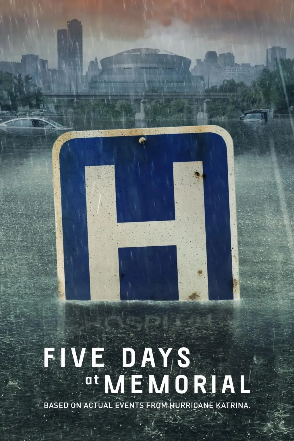
Five Days at Memorial
- Studio
- ABC Signature
- Released
- August 11, 2022
- SCANable role
- 3D Scanning
Five Days at Memorial is a 2022 disaster medical drama miniseries developed, written, and directed by John Ridley and Carlton Cuse. Based on Sheri Fink’s 2013 book of the same name, the ABC Signature production premiered on August 12, 2022.
SCANable provided ground and aerial LiDAR/3D laser scanning of the hospital and surrounding residential neighborhoods for the miniseries. Combining terrestrial laser scanning with aerial photogrammetric capture, our team recorded large-scale environments as accurate point-cloud data that supported the production’s set extensions and visual effects work.

Scale is the one thing that cannot be fixed later
Every other property of a scan can be adjusted downstream. Density can be decimated, texture can be re-derived, topology can be rebuilt. Scale cannot be recovered once it is lost, because there is nothing left to measure against.
That is why capture is treated as a survey rather than as photography. Real-world units, a defined origin, and a consistent axis convention are established before the first scan position, and every subsequent dataset is brought into the same frame.
A VFX team that receives geometry at true scale can drop an asset in and trust its dimensions. One that receives geometry at an unknown scale has to solve for it in every shot, and each solve is a fresh opportunity to be slightly wrong.
Capturing a district, not a room
A hospital and the residential blocks around it are a different problem from a stage build. The subject is measured in city blocks, it cannot be closed for convenience, and no single vantage point sees more than a fraction of it.
Coverage has to be planned as a route: scan positions chosen so that each one overlaps its neighbours enough to register, working outward until the whole area closes back on itself.
Error behaves differently at this size too. A discrepancy that is negligible between two adjacent positions accumulates over a long chain of them, so the network is designed to constrain itself rather than to chain indefinitely.
Questions the data can answer months later
A point cloud is not a picture of a place. It is a measured description of it, and its value is in the questions it can answer months after the unit has gone.
How far is that wall from that door. What is the floor-to-ceiling height on the third level. Where exactly does the roofline fall relative to the street. Those answers are what let CG elements be placed, tracked, and lit correctly.
Meshes derived from that cloud become the working geometry for set extension and environment work, while the underlying cloud stays available as the authoritative measurement behind it.
Objects that belong to the location
Practical dressing inside a real building cannot be taken away to be scanned. It is captured where it stands, in the light and position the production put it in, between setups.
Doing that on location is a logistics discipline as much as a technical one — compact, fast, and shaped around a shooting day that will not pause. Everything captured is then delivered as clean, render-ready geometry rather than raw scan output.
See more episodic television work, or review the full service list.
SELECTED WORK / GALLERY