← Back to all work
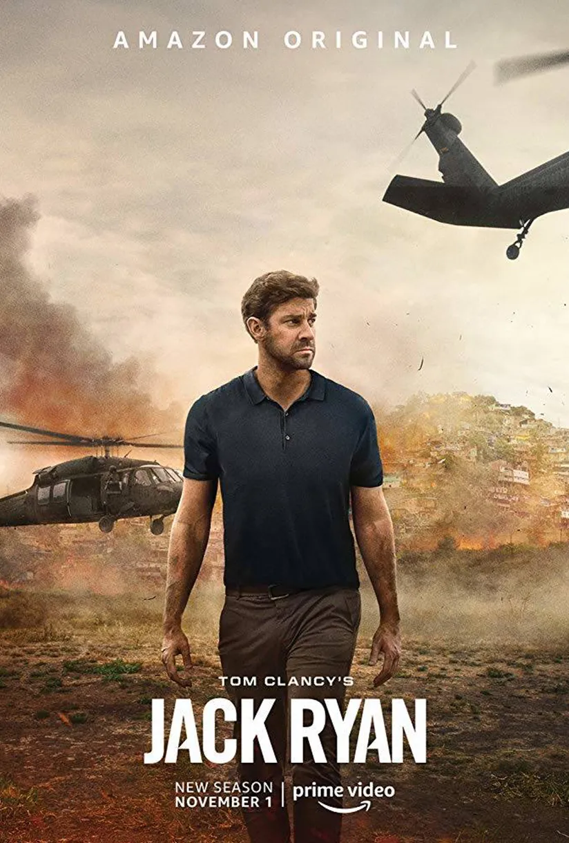
Key art for Tom Clancy’s Jack Ryan Season 2 (2019) — Amazon Studios

SELECTED WORK / PRODUCTION

Jack Ryan

Studio
Amazon Studios
Released
October 31, 2019
SCANable role
LiDAR/3D Scanning and Modeling
  • Body Scanning
  • CG
  • Television
  • VFX

Tom Clancy’s Jack Ryan returned for Season 2 on Amazon Prime Video in 2019, sending the CIA officer into the Venezuelan jungle after tracking a suspicious shipment of illegal arms. As Jack’s investigation threatens to uncover a far-reaching conspiracy, the President of Venezuela launches a counter-attack that hits home for Jack, leading him and his fellow operatives on a global mission spanning the United States, UK, Russia, and Venezuela to unravel the President’s nefarious plot and bring stability to a country on the brink of chaos.

SCANable performed 3D laser scanning for the Amazon Studios series, delivering registered LiDAR data and 3D models to support the show’s visual effects work.

A story told across four countries, assembled in one

Globe-spanning thrillers are rarely shot where they are set. A jungle sequence, a European street, and an interior meant to be somewhere else again may be captured on three continents or three stages, then cut together as though the characters simply walked between them.

The only thing holding that together is consistency in the underlying data. If each location is scanned to its own conventions — different units, different origin, different up-axis — the VFX team spends its time reconciling coordinate systems instead of making shots.

A single survey standard applied across every unit means the resulting assets share one library, one scale, and one set of assumptions, regardless of which country they were recorded in. That is the practical value of set and location scanning on a travelling production.

Coverage a ground scanner cannot reach

A tripod-mounted scanner sees what it can see from ground level. For a compound, a stretch of coastline, a hillside, or any location whose relevant geometry extends past the reach of a terrestrial station, that is not enough.

Aerial photogrammetry covers the remainder — the roofline, the terrain, the overall footprint of a site that a ground survey can only sample. The two datasets register together into one model, with the aerial pass supplying extent and the ground pass supplying the detail a camera will actually be close to.

Knowing which instrument answers which question is most of the discipline. Our aerial photogrammetry work exists precisely for the part terrestrial scanning cannot reach.

Point clouds are not the deliverable

A raw registered cloud is a measurement, not an asset. It has hundreds of millions of points, no topology, no UVs, and no way for an artist to animate, light, or extend it.

Turning it into something usable means deciding what matters — which surfaces will be seen, which need to hold at close range, and which only need to exist so a track can lock to them — and then building clean geometry to that specification.

That conversion is the modeling half of the job, and it is where a survey becomes something a shot can be built on.

More TV scanning work are in the portfolio, alongside the full service list.