SELECTED WORK / PRODUCTION
Keeping up With the Joneses
- Studio
- 20th Century Fox
- Released
- October 20, 2016
- SCANable role
- LiDAR/3D Scanning and Modeling
- Director
- Greg Mottola
- VFX vendor
- Zoic Studios
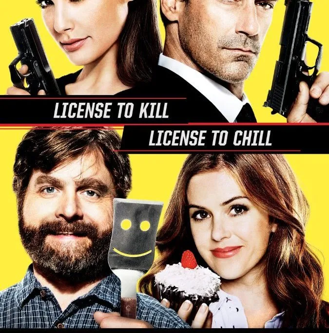
Keeping Up with the Joneses (2016) is an action comedy directed by Greg Mottola, starring Zach Galifianakis, Isla Fisher, Jon Hamm, and Gal Gadot. An ordinary suburban couple (Galifianakis, Fisher) finds it’s not easy keeping up with the Joneses (Hamm, Gadot) — their impossibly gorgeous and ultra-sophisticated new neighbors — especially when they discover that Mr. and Mrs. “Jones” are covert operatives. The film opened in theaters on October 21, 2016.
SCANable performed LiDAR 3D scanning and modeling in Atlanta, Georgia, capturing environment and HDRI data that Zoic Studios used for camera tracking and computer-generated explosions.

An explosion needs something to blow up
Destruction and pyrotechnic effects are simulations, and a simulation is only as convincing as the world it is run against. Debris has to collide with real surfaces, blast has to be occluded by real walls, and light has to spill onto geometry that is where the geometry actually was.
Given a measured environment, all of that is solved by the data. Given an approximation, every one of those interactions is art-directed by hand, and the result is an effect that sits in front of the plate rather than inside it.
Shadows are a geometry problem
Contact shadow is the single cheapest cue that an added element is real, and it is entirely dependent on knowing what the element is standing on.
A ground plane guessed from the image gives shadows that skate, float, or fall at the wrong angle across a kerb. A scanned surface gives them somewhere to land — including the small irregularities, slopes, and steps that a human eye registers without ever consciously noticing. This is why environment capture keeps earning its place on comedies and dramas that have no visible creature work at all.
Ordinary locations are the hardest to fake
A spaceship can look however the artist decides. A suburban street cannot, because every viewer has stood on one.
Familiarity is the constraint. Proportions of driveways, fence heights, the distance between houses — these are known quantities to an audience even though nobody could state them. Capturing the real location keeps those relationships correct, which is what lets the added material go unnoticed. Our set and location scanning exists to record exactly that.
Most of this data never appears on screen
Very little of what gets captured on a comedy becomes a rendered asset. The majority is reference — the geometry a vendor uses to place, scale, track, or occlude something else correctly.
That is the unglamorous half of the job and the half that quietly decides whether the visible half works. It is also the half that cannot be recreated once the unit has moved on, which is why it gets captured whether or not anyone has decided which shots will need it. What ships is a clean mesh built for tracking and rendering rather than a raw cloud somebody else has to interpret.
See more feature film scanning, or the complete service list.
SELECTED WORK / GALLERY