

← Back to all work
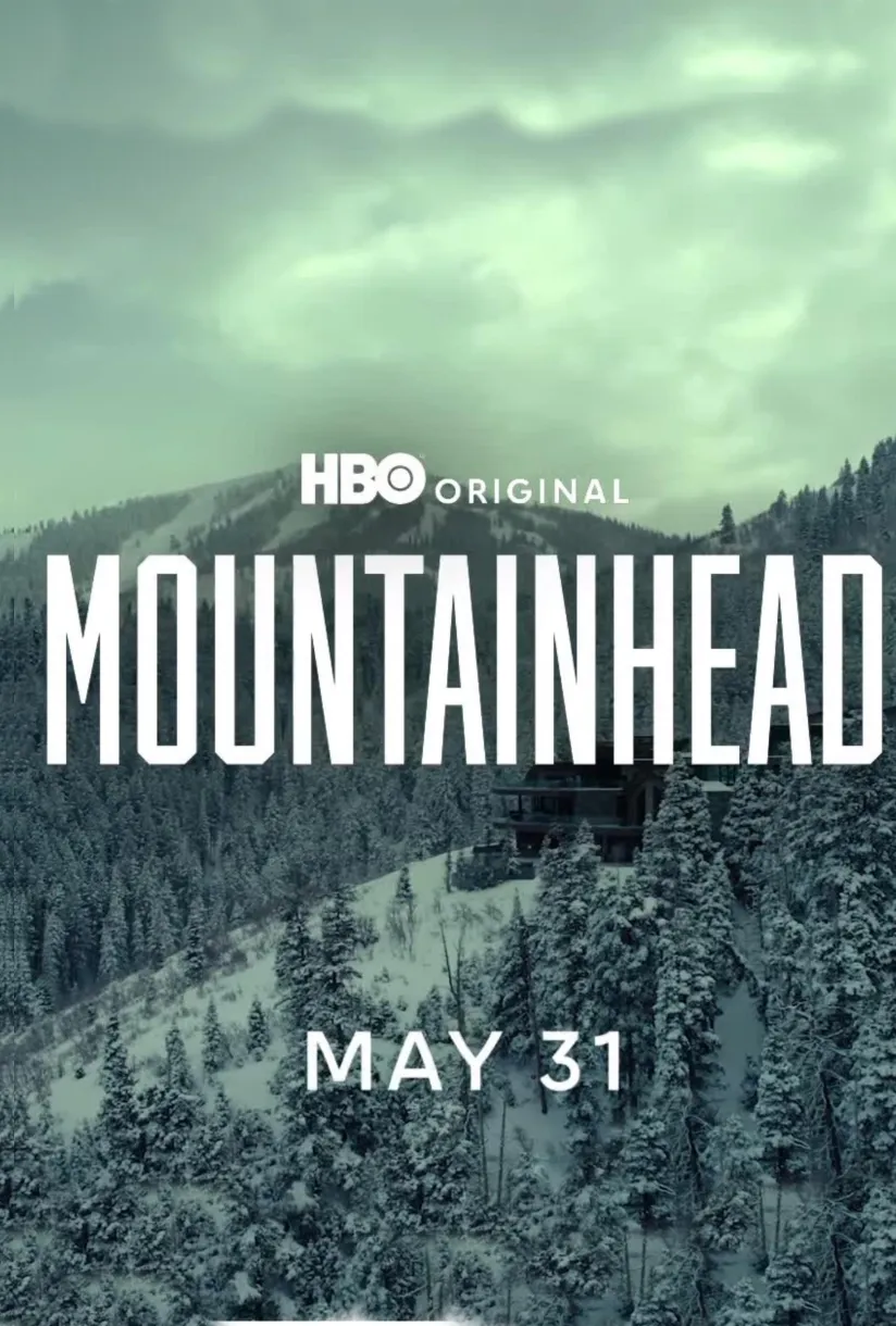
Official poster for Mountainhead (2025) — HBO Films

SELECTED WORK / PRODUCTION

Mountainhead

Studio
HBO Films
Released
May 30, 2025
SCANable role
3D Scanning
Director
Jesse Armstrong
  • Aerial Photogrammetry
  • Backgrounds
  • CG
  • Camera Tracking
  • Feature Film
  • Set Extension
  • VFX

Mountainhead is a 2025 HBO original film from Succession creator Jesse Armstrong, which premiered May 31, 2025, on HBO and Max. The satirical comedy-drama — the Emmy winner’s feature directorial debut — centers on four tech billionaires: Randall (Steve Carell), Hugo Van Yalk (Jason Schwartzman), Venis (Cory Michael Smith), and Jeff (Ramy Youssef), who convene at a luxurious mountain retreat amid a global economic crisis. As the world teeters on collapse, tensions rise when Venis’s controversial tech platform is implicated in spreading deepfakes and destabilizing markets.

Filmed in Park City, Utah, the story unfolds in a multimillion-dollar ski lodge that serves as both a symbol of opulence and a potential survival bunker. SCANable supported the production’s visual effects with terrestrial LiDAR scanning and aerial photogrammetry, capturing location data used for camera tracking, CG set extensions, and background environments.

Solving a camera inside a glass box

Tracking software solves a camera from what it can see. On a wide exterior with clean parallax that is often enough. Inside a glass-walled lodge, with reflective surfaces, shallow depth, and long lenses, it frequently is not.

A measured point cloud changes the problem. Instead of inferring geometry from the image, the matchmove artist fits the solve to a room whose dimensions are already known.

The result is a camera that holds in three dimensions rather than one that merely looks locked in a single frame. This is the quiet reason set and location scanning gets ordered on films with no creature work in them.

The seam is where set extension is judged

A practical build ends somewhere. Above it, past it, or through the window is CG, and the join between the two is the only part of the extension an audience can actually catch.

Extensions modeled outward from scan data share the practical set’s exact dimensions, so the seam lands on real geometry rather than on an estimate. Roof lines continue at the correct pitch. Walls meet the ground plane at the correct height.

Approximated geometry fails at that boundary in a specific way: the added portion reads as slightly too large or slightly too near, and nobody can say why the shot feels wrong.

Views the camera was never going to reach

Some of what a film needs to describe sits where a scanner cannot stand: a ridge line above the lodge, a roof plane, a slope that falls away past the property.

Aerial photogrammetry covers that ground. Flown coverage is registered against the terrestrial data so the whole environment — building, terrain, and everything between — occupies one coordinate space at real-world scale.

That merged dataset is what allows a shot to look up, out, or down onto the location without anyone rebuilding the surroundings from photographs. Aerial photogrammetry is a coverage tool before it is a spectacle tool.

A contained story still spends on geometry

Films built around dialogue in one location are assumed cheap on visual effects. In practice they concentrate the work: fewer shots, but each one lives on a location the audience studies for ninety minutes.

Familiarity raises the standard: once viewers know a room, every extension of it has to agree with what they already know about the space.

See other series and television work, or read about what we capture.