

SELECTED WORK / PRODUCTION
Emancipation
- Studio
- Westbrook Studios
- Released
- December 8, 2022
- SCANable role
- 3D Scanning (Ground and Aerial)
- Director
- Antoine Fuqua
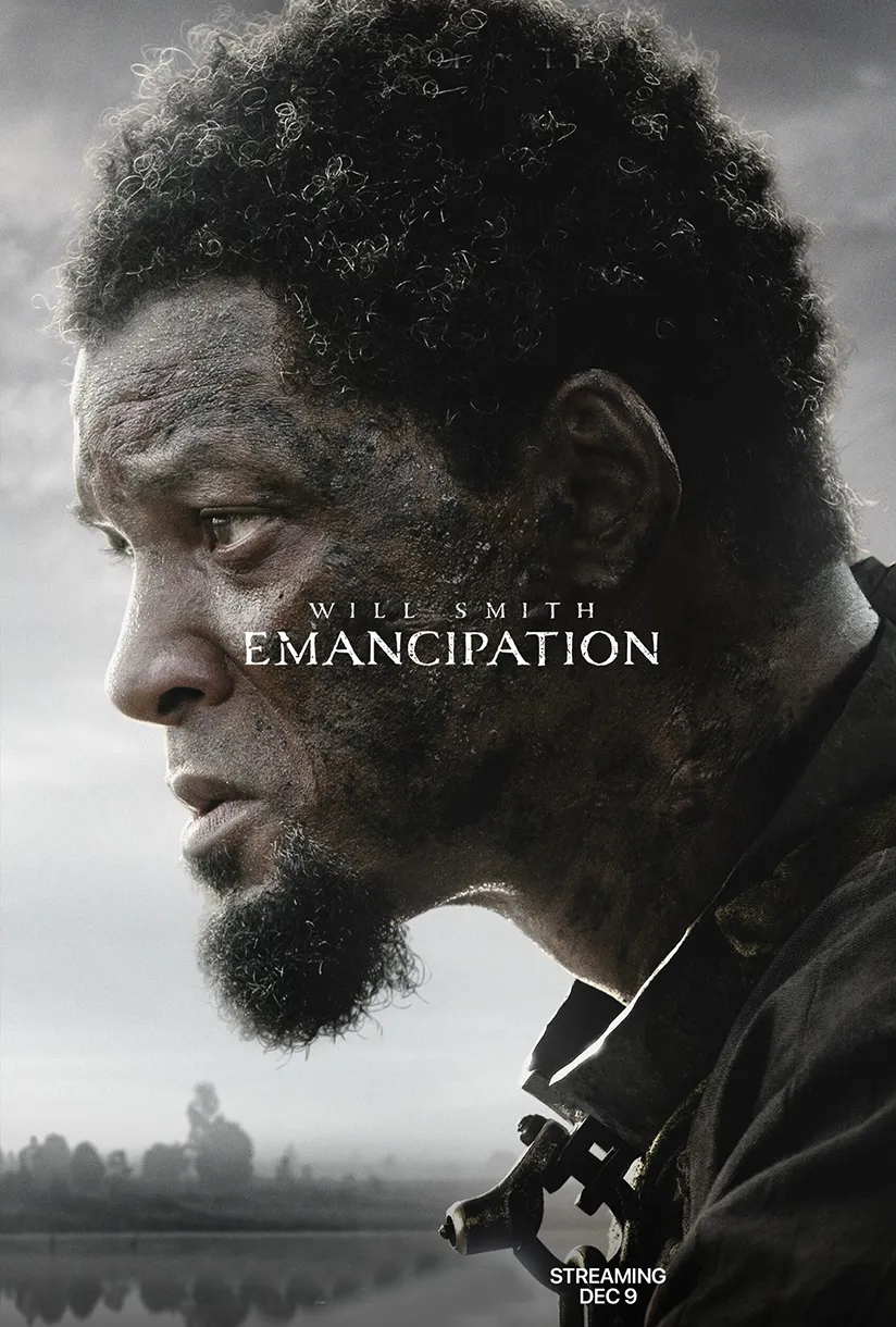
Emancipation is a 2022 historical action thriller directed by Antoine Fuqua and starring Will Smith as a runaway slave in 1860s Louisiana. Written by William N. Collage and co-produced by Smith, the film follows its hero toward Baton Rouge as he survives the swamps while pursued by slave catchers and their dogs. It is loosely based on the real-life story of Peter and/or Gordon, formerly enslaved men whose 1863 photographs — including one of a back heavily scourged by an overseer’s whippings — gave the abolitionist movement proof of slavery’s cruelty. Ben Foster and Charmaine Bingwa co-star in the film, which is rendered in a desaturated palette reminiscent of black-and-white cinema and was released in select cinemas on December 2, 2022, and globally to streaming on December 9, 2022, after a first screening in Washington, D.C.
SCANable provided ground and aerial 3D scanning for the production, combining LiDAR and aerial photogrammetry to generate point-cloud data used for camera tracking and visual effects work.
Two instruments, because one is never enough outdoors
Ground-based LiDAR and aerial photogrammetry are not competing methods. They answer different questions, and a location shoot in open terrain needs both.
A terrestrial scanner captures what is around it with high precision — surfaces, structures, the geometry a camera will actually be near. It sees nothing above the canopy and nothing beyond its line of sight.
Aerial capture answers the opposite question: the shape of the land itself, over distances a tripod could never cover, in a single flight. What it lacks in close-range precision it makes up in extent.
Running both and registering them into one coordinate space produces something neither delivers alone — a location that is accurate underfoot and accurate to the horizon.
Swamp and wilderness are hostile to scanning
Constructed sets are cooperative. Water, dense vegetation, and irregular terrain are not.
Water has no stable surface to solve against. Vegetation moves in wind and occludes everything behind it. Terrain with no flat reference and no architectural edges gives a solve very little to lock onto.
Working in those conditions is a matter of capture strategy — flight planning, ground station placement, and coverage discipline chosen for the environment rather than applied generically. It is the difference between data a VFX team can use and a point cloud full of holes.
Camera tracking was the primary deliverable
On many productions, scan data supports asset building and matchmove benefits incidentally. Here camera tracking was a first-class use of the data.
A solve run against real measured geometry has something true to anchor to. Every camera position resolves to an actual position in an actual space, and anything placed afterward sits correctly. A solve run without that data is an artist inferring three-dimensional structure from a two-dimensional plate, and inference drifts — especially in terrain with no straight lines and no architectural reference.
For a film shot largely in wilderness, where nothing in frame gives a tracker an easy anchor, measured geometry converts an expensive recurring post problem into a single capture task.
Period-accurate landscapes
A film set in the 1860s cannot show modern infrastructure. Removing a road, a power line, or a distant structure requires knowing the geometry behind it.
Measured environment data makes that removal clean rather than approximate. The replacement sits on real terrain at real scale, so it holds as the camera moves through the shot.
Our aerial photogrammetry and set and location scanning services cover both halves of that work.
Delivery
Registered, cleaned, correctly oriented, real-world-scaled point clouds and derived geometry ship after processing through our modeling and asset build pipeline — never as raw capture.
For productions that also need character work on location, our Mobile CyberSCAN™ Studios deploy alongside the environment crew and deliver digital doubles from the same visit.
See more feature film scanning, or browse the full service list.
SELECTED WORK / GALLERY